How much have Antarctica's major ice shelves changed in the past decade?
This is the ice shelf calving front change portal. This database provides an interactive map to explore various Antarctic ice shelves. Each ice shelf page provides a .gif of the MODIS satellite imagery used and evolving calving front (glacial coast) over time. The overall change in ice shelf area (between the grounding line and calving front) is recorded in an additional .gif. The difference between those yearly area recordings are represented in a bar graph.
A summary table is provided to show key data points for each individual ice shelf, as well as downloadable calving front (.shp) zip files.
Ross West Ice Shelf shows overall ice growth from 2009-2019. This is evidenced through an area growth of 3851.8 km2 and an overall ice percentage increase of 1.3%.
Data Description
Input Satellite Data Specification
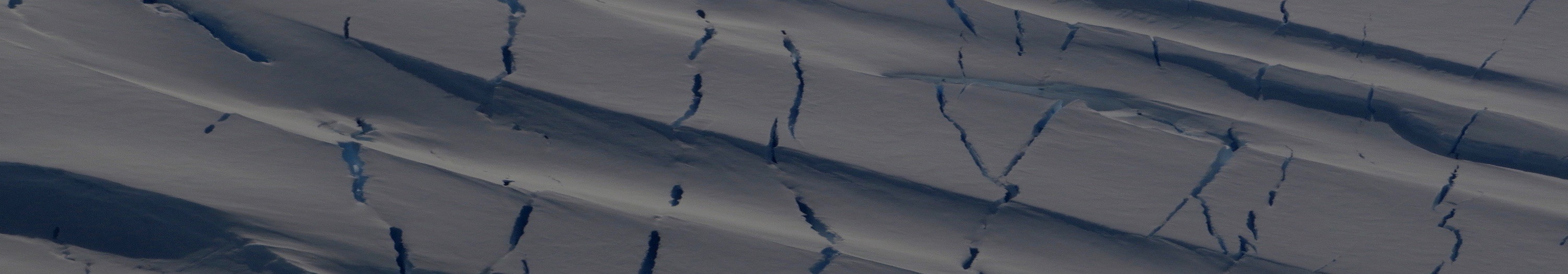
The Moderate Resolution Imaging Spectroradiometer (MODIS), located on both NASA’s Terra and Aqua satellites, is a widely used instrument for optical imagery and is the favoured satellite for this research. On a sunny/cloud-less day, MODIS creates imagery with clear discrimination between accumulation and ablation subsurface and surface changes. This allows for clear observation of surface morphology and calving fronts (Scambos et al., 2007).
Temporal Coverage
Despite its low spatial resolution, MODIS maintains a daily revisit cycle that produces highly detailed temporal resolution, increasing the likelihood of obtaining images without cloud cover (Melesse et al., 2007).
Additional satellite properties for Terra and Aqua include: period of revolution = 99 minutes, repeat period = 16 days, launch dates= Terra: December 1999, Aqua: May 2002 (NASA, 2018).
Data Source
For updated access to ice shelf imagery, the NSIDC’s Antarctic Glaciological Data Centre (NSIDC, 2019) has a public MODIS Antarctic Ice Shelf Image Archive dating from January 2002 – present with imagery available on a weekly or monthly timescale throughout each year. This archive can be found here.
Resources
Melesse, A.M., Weng, Q., Thenkabail, P.S. and Senay, G.B., 2007. Remote sensing sensors and applications in environmental resources mapping and modelling. Sensors. 7(12), pp. 3209- 3241.
NASA. 2018. MODIS Moderate Resolution Imaging Spectroradiometer: MODIS About. [Online]. [Accessed 22 December 2018]. Available from: https://modis.gsfc.nasa.gov/about/index.php
NSIDC. 2019. NASA Distributed Active Archive Center (DAAC) at NSIDC: MODIS Data. [Online]. [Accessed 7 January 2019]. Available from: https://nsidc.org/data/modis/index.html.
Scambos, T., Haran, T., Fahnestock, M., Painter, T., and Bohlander, J. 2007. MODIS-based mosaic of Antarctica (MOA) data sets: continent-wide surface morphology and snow grain size. Remote Sensing of Environment. 111(2), pp. 242-257.